Home/China Tours/Xinjiang Autumn Tour
Guided Photography Tour

The 12-Day Xinjiang Autumn Photo Tour

Tour code CPT-XJ12 · Autumn departures, late September to mid-October · Maximum 4 guests · English-speaking photographer-guide

Duration
12 Days / 11 Nights
Group Size
Max 4 Photographers
Difficulty
Moderate (long drives)
Starts / Ends
Urumqi
Tour Summary

12 days at a glance

From the rainbow badlands of Defence Highway S101 to the birch smoke of Hemu and the granite gorge of Koktokai — the whole route in one view before the day-by-day detail.

DayRouteSignature ShootOvernight
01Arrival in UrumqiCity dusk, gear check and light planningUrumqi
02Urumqi → S101 → ManasDanxia ridges, village portraits, Danxia sunsetManas County
03S101 → Anjihai → KuitunDanxia first light; Anjihai Grand Canyon at sunsetKuitun / Dushanzi
04Dushanzi → UrhoWind-carved yardangs, Ghost Town sunset & blue hourUrho (Wuerhe)
05Urho → BurqinWucaitan terraces and Irtysh river reflectionsBurqin
06Burqin → KanasMoon Bay, Wolong Bay and Shenxian Bay in autumn larchKanas / Baihaba
07Baihaba VillageBorder village sunrise, Tuva cabins and herdersBaihaba
08Kanas → HemuFish-Viewing Pavilion cable car; Hemu dusk and smokeHemu
09Hemu → KoktokaiBirch-smoke sunrise from the platform; transfer eastKoktokai
10Koktokai National ParkShenzhong Mountain granite peaks, Irtysh Grand CanyonKoktokai
11Koktokai → UrumqiValley dawn; Grand Bazaar at nightUrumqi
12Urumqi departureFinal group frames, airport transfer—
Autumn in Twelve Frames

The light you will be chasing

Every frame below was taken on this route, in the last two weeks of September and the first of October — the window when the larch turns and the rivers run low and clear.

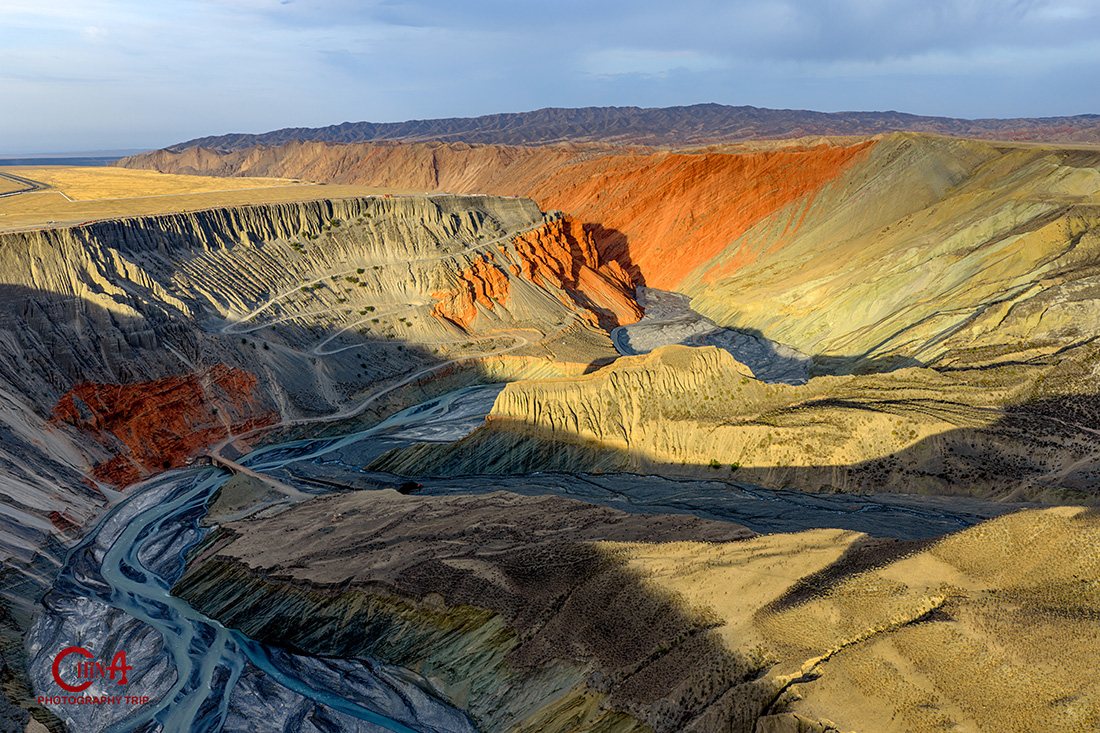
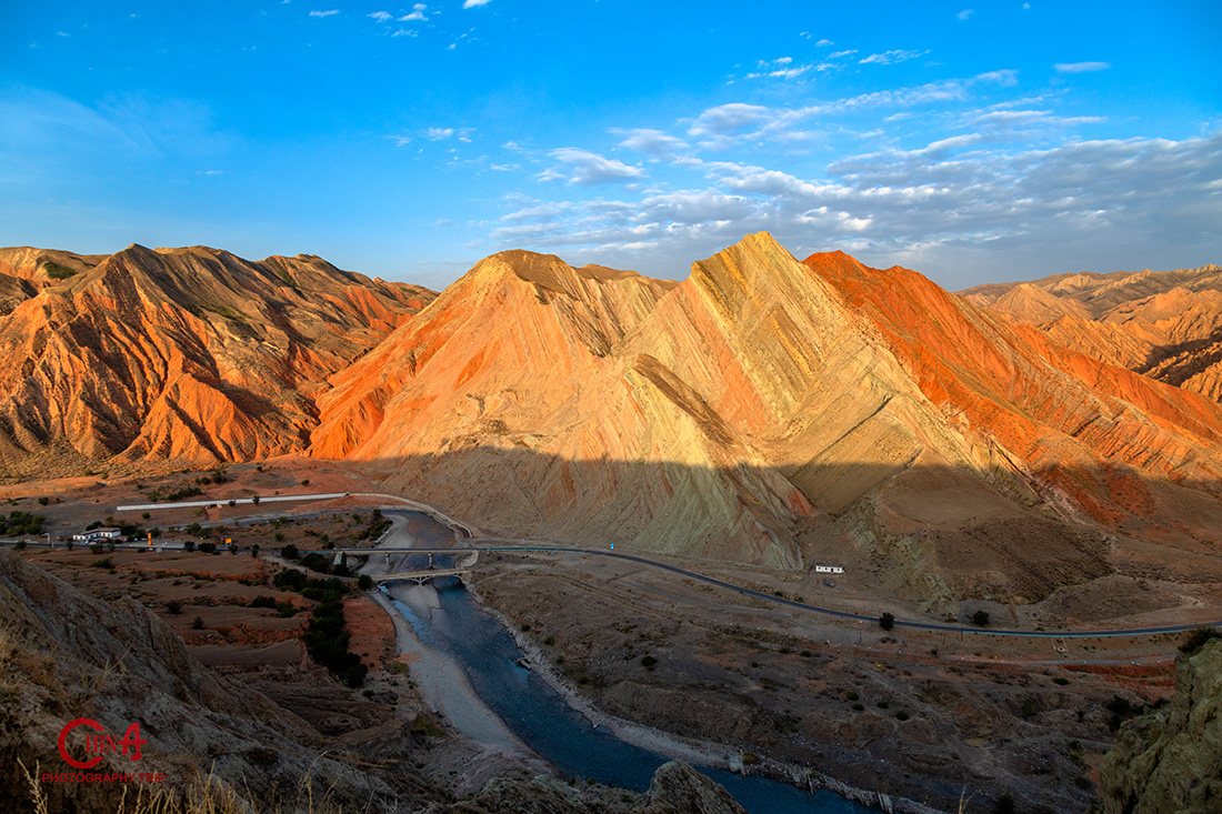
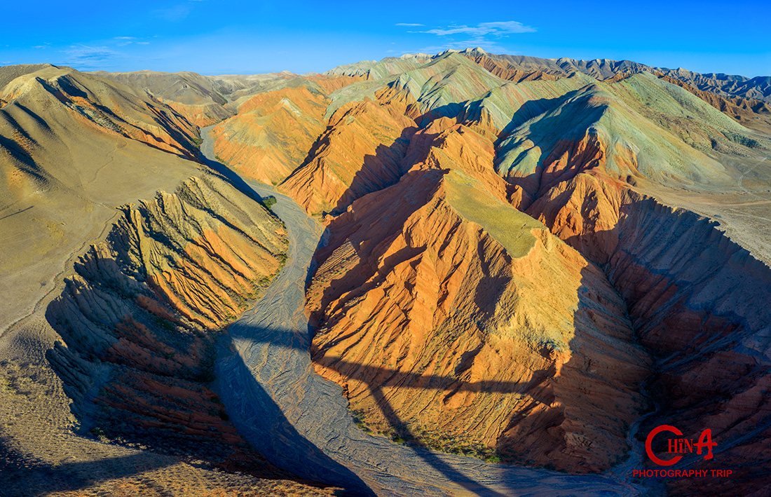
Rainbow-striped Danxia ridges above a river valley on Xinjiang's Defence Highway S101 at dawn
S101 Danxia ridges at dawn
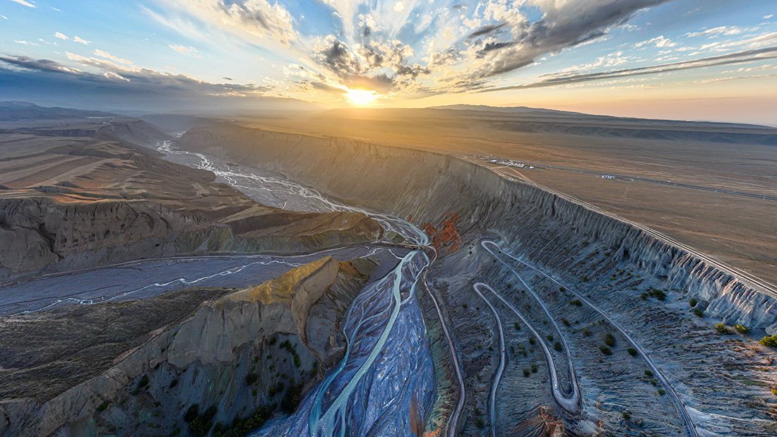
Backlit cliffs of Anjihai Grand Canyon glowing at sunset over the braided river
Anjihai Grand Canyon — backlit cliffs
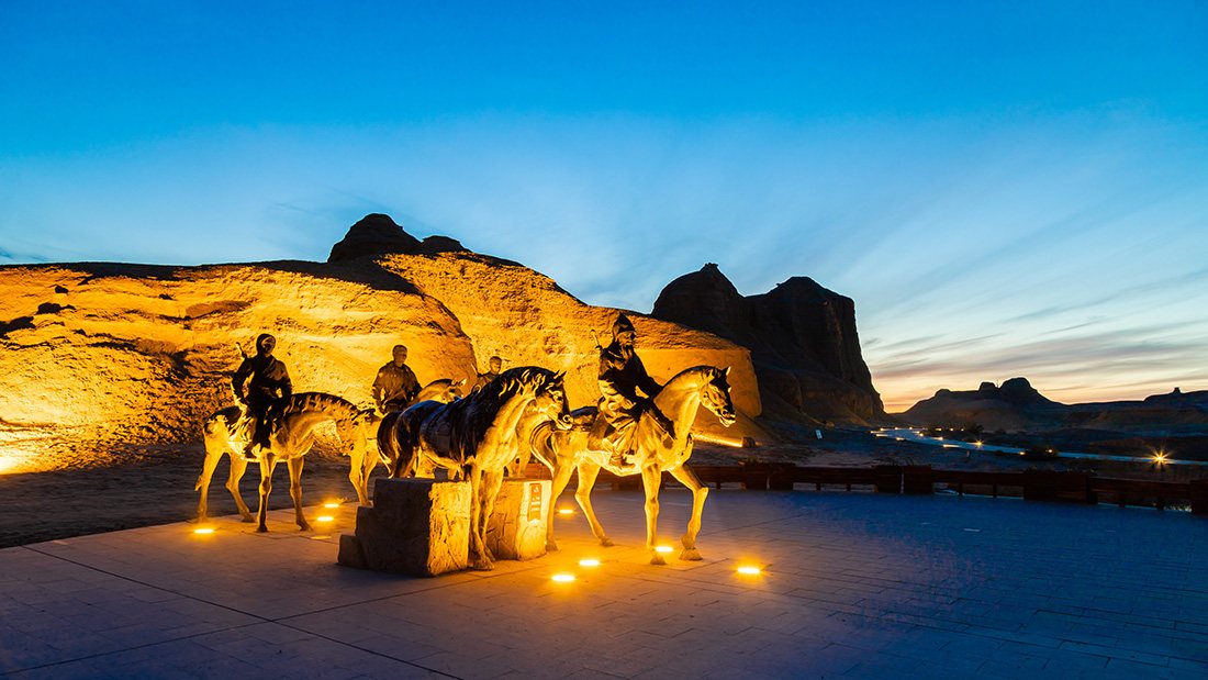
Camel silhouettes crossing the yardang formations of Urho Ghost City at dusk
Urho Ghost City — camels at dusk
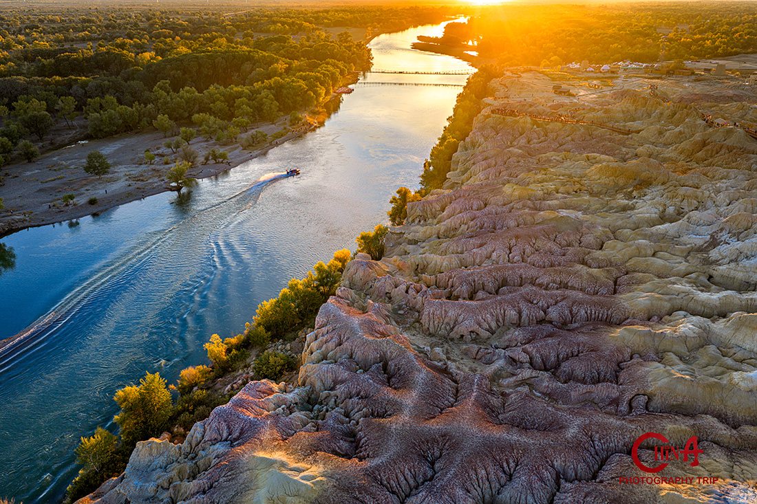
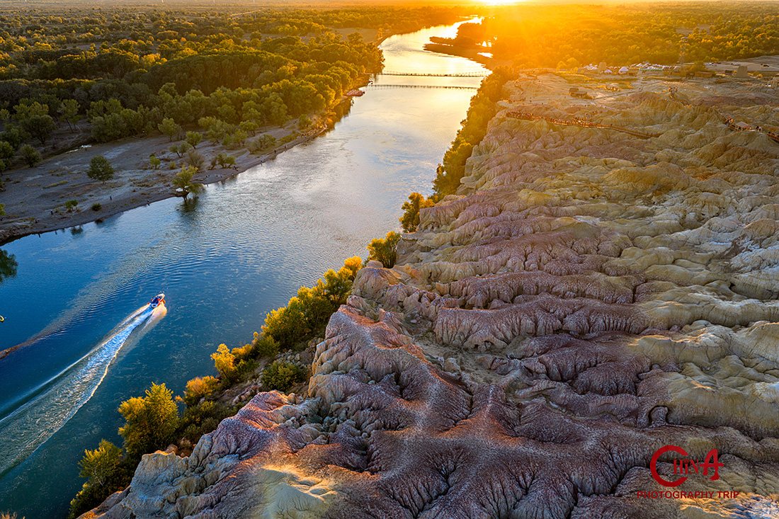
Golden sunset light on the Irtysh River beside the multicoloured cliffs of Wucaitan
Wucaitan — golden river at sunset
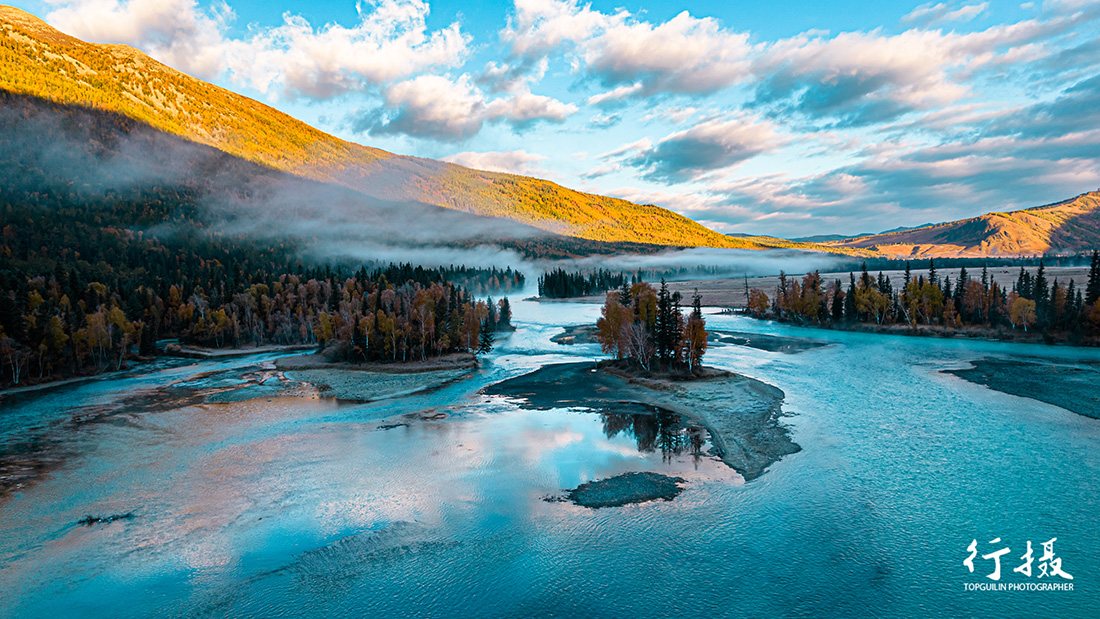
Morning mist drifting over Shenxian Bay on the Kanas River at dawn
Kanas — Shenxian Bay at dawn
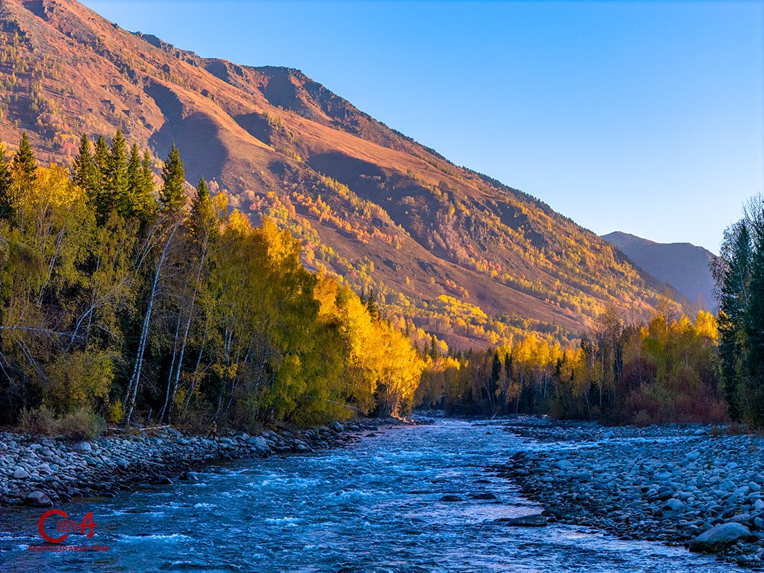
Autumn birch and larch forest along the Hemu river with wooden Tuva cabins
Hemu — autumn forest along the river
Day by Day

The full 12-day itinerary

Times are the plan, not a promise — we move them for weather without hesitation, because in Xinjiang the cloud decides where the photograph is.

Day
1
Arrival in Urumqi

Gateway to the north

Touch down at Urumqi Diwopu International Airport (URC), where your guide meets you and drives you into the city. Xinjiang runs on Beijing time, so the autumn sun sets close to 20:00 — which gives us a long, soft evening even on arrival day.

After checking in we do a gear check together — batteries, cards, filters, a dust cloth for the yardang days — and go through the route map so you know exactly what kind of light each morning is aiming for. Dinner and an early night. Nothing is scheduled; this evening exists so the next eleven days run smoothly.

Today’s plan
  • Afternoon  —  Airport pickup, hotel check-in, rest
  • 18:30–19:45  —  Optional city dusk walk & gear check (ISO 400–800, f/2.8–4, 35mm)

✦ Overnight: Ji Hotel, Urumqi
Day
2
Urumqi → Highway S101 → Manas

The geological gallery of Tianshan

We leave the city and turn onto National Defence Highway S101 — the “Geological Gallery of Tianshan”. For the next day and a half the road cuts through sandstone that has been folded, tilted and stained into bands of rust, ochre, sage and violet. It is the most concentrated colour anywhere in Xinjiang, and almost nobody photographs it.

Mid-afternoon we stop at a Kazakh family home for tea and portraits. This is arranged in advance, never a doorstep ambush — your guide translates, you shoot available light indoors and the courtyard in shade, and the family receives prints afterwards. Then we set up for sunset on the ridges, where low sun rakes across the strata and every band separates.

Today’s shooting schedule
  • 09:00  —  Depart Urumqi; enter S101 (3.5 h with stops)
  • 15:00–16:30  —  Kazakh family home: portraits & courtyard light (ISO 400–800, f/2.8–4, 35/85mm)
  • 18:30–20:00  —  Danxia ridges at sunset (ISO 100, f/8–11, 24–70mm, polariser)
Rainbow-banded strata hills of the S101 Danxia belt under warm afternoon light
S101 — rainbow strata hills

✦ Overnight: Huitai Pusu Resort, Wate Dam (Manas County)

Day
3
S101 → Anjihai Grand Canyon → Kuitun

First light on the ridges, last light in the canyon

We are out before sunrise for the second S101 session: the same hills, opposite light. Dawn here is cooler and cleaner than sunset — the bands read as pastel rather than fire, and if there is any ground mist in the valley it usually lifts between 07:40 and 08:20.

Then west to Anjihai Grand Canyon (also called Hongshan Grand Canyon), where meltwater has sawn a kilometre-wide gash through red sandstone. From the rim the river below is a braided silver thread; the cliffs opposite catch the last direct sun about fifteen minutes before the valley floor goes into shadow. That contrast — lit walls, dark river — is the shot. We stay until the colour is gone.

Today’s shooting schedule
  • 07:15–08:30  —  S101 Danxia first light (ISO 100–200, f/8–11, tripod)
  • 13:00  —  Transfer west to Anjihai (3 h)
  • 18:30–20:00  —  Anjihai rim at sunset (ISO 100, f/8–11, 24–70 & 70–200mm)
Layered red, ochre and grey strata of Anjihai Grand Canyon seen from the rim
Anjihai — coloured strata
Sun backlighting the cliff edges of Anjihai Grand Canyon above the braided riverbed
Anjihai — backlit rim at sunset

✦ Overnight: Ji Hotel, Kuitun / Dushanzi

Day
4
Dushanzi → Urho (Wuerhe)

Yardangs, wind and the Ghost Town

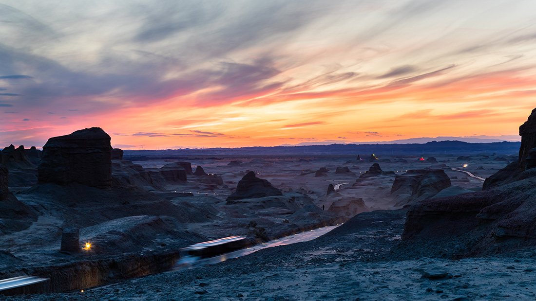
North now, along the rim of the Junggar Basin, into a completely different geology: soft lake-bed sediments carved by wind into castles, towers and hulls. This is Urho Yardang National Geopark, “Ghost Town” to everyone who lives here, and it only becomes itself in the last ninety minutes of daylight.

We scout the formations before the light drops, then work the low-angle raking sun: side-light the ridges so each yardang throws its own shadow, and compress them into a skyline with a 70–200mm. After sunset there is a reliable twenty minutes of blue hour, when the shapes flatten into silhouette and the sky goes cobalt — the frame most people miss because they have already walked back to the car.

Today’s shooting schedule
  • 09:30  —  Depart Dushanzi; desert-edge stops en route (4 h)
  • 16:30–18:00  —  Scout the yardang field; mark positions
  • 18:00–19:40  —  Sunset raking light (ISO 100, f/8–11, 70–200mm)
  • 19:40–20:15  —  Blue hour silhouettes (ISO 400–800, f/5.6, tripod)
Wind-carved yardang ridges of Urho Ghost City under a deep dusk sky
Urho — yardang ridges at dusk
Camels moving through the Urho yardang formations as the light fades
Urho — camels at dusk

✦ Overnight: Tancheng Hotel, Wuerhe

Day
5
Urho → Burqin (Buerjin)

Five-Colour Beach on the Irtysh

A long but beautiful drive north through steppe to Burqin, the last real town before the Altai. The afternoon belongs to Wucaitan — Five-Colour Beach — where the north bank of the Irtysh is a staircase of eroded terraces in red, yellow, green and grey-white, and the south bank is a green-and-gold autumn forest.

That opposition is the whole reason to come here: geology on one bank, foliage on the other, river between them. Shoot the terraces with a polariser to hold the saturation, then turn 180 degrees for the trees across the water. When the sun drops, the river goes copper and the two banks finally match in colour — two or three frames a year worth waiting for.

Today’s shooting schedule
  • 08:30  —  Depart Urho; steppe stops (5 h)
  • 17:00–18:30  —  Wucaitan terraces, side light (ISO 100, f/8–11, polariser)
  • 18:30–20:00  —  Irtysh reflections and autumn far bank at sunset
Aerial view of the multicoloured Wucaitan cliffs and the Irtysh River in golden-hour light
Wucaitan — golden hour from above

✦ Overnight: Cijian Hotel, Burqin

Day
6
Burqin → Kanas

Three bends of the Kanas River

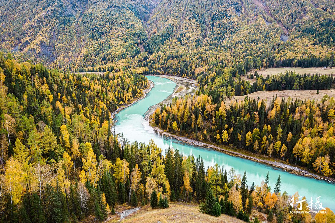
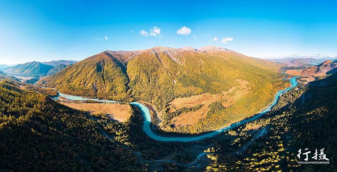
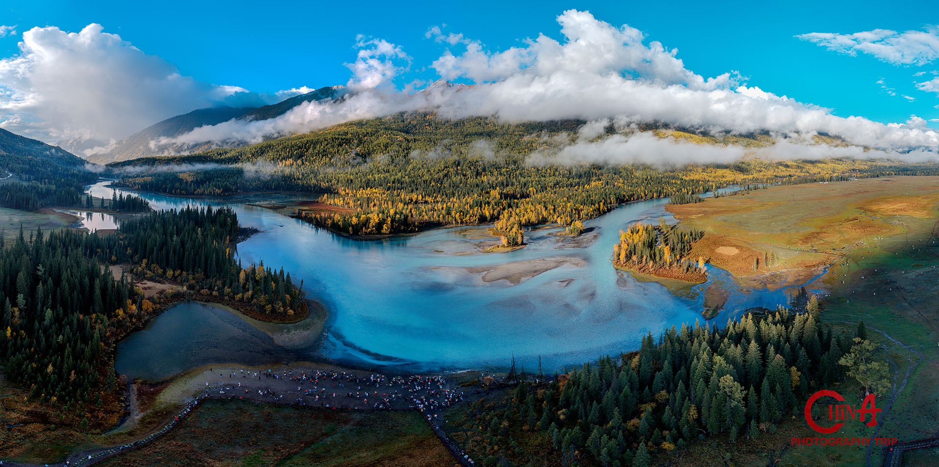
We climb into the Altai Mountains and enter Kanas National Park, where the river makes its famous bends through larch and birch that have just turned. Moon Bay is the crescent sandbar, Wolong Bay the sleeping-dragon island, Shenxian Bay the wide shallows that hold mist until mid-morning.

Order matters here. Shenxian Bay first, while the mist is still on the water; then Moon Bay as the sun clears the ridge; Wolong Bay last, when the light is flat enough to hold detail in both the forest and the sky. Each is a five-minute walk from a shuttle stop, so the day is more about patience than walking.

Today’s shooting schedule
  • 07:30  —  Depart Burqin; enter the park (4 h with stops)
  • 08:00–09:30  —  Shenxian Bay mist (ISO 200–400, f/5.6–8, 70–200mm)
  • 10:00–12:00  —  Moon Bay & Wolong Bay bends (ISO 100, f/8–11, polariser)
  • 18:30–19:45  —  Evening river bend, low sun on the larch
Moon Bay on the Kanas River, a crescent sandbar inside a horseshoe bend of golden forest
Kanas — Moon Bay
Wolong Bay, the sleeping-dragon island in the Kanas River surrounded by autumn forest
Kanas — Wolong Bay

✦ Overnight: Dombra Hotel, Baihaba (Kanas)

Day
7
Baihaba Village & the Kanas valley

Tuva cabins on the border ridge

A full slow day in Baihaba, the Tuva village that sits directly on the China–Kazakhstan border — log cabins, split-rail fences, haystacks, horses wandering loose through the streets. It is the quietest of the three Kanas villages and the one that still looks like it did fifty years ago.

We start on the ridge above the village for sunrise, when the smoke from a hundred chimneys hangs in the cold air and the border hills go blue with distance. The middle of the day is for details — hands, fences, saddles, bread — and for the herders bringing stock back at dusk. Border formalities are handled in advance; bring your passport.

Today’s shooting schedule
  • 07:40–08:50  —  Village sunrise from the ridge: smoke & blue distance (ISO 200–400, f/5.6–8)
  • 10:00–15:00  —  Tuva cabins, herders and detail work (35/85mm, available light)
  • 18:00–19:30  —  Livestock returning, valley ridges at sunset
Broad Kanas river valley with cloud shadow drifting over forested mountain ridges
Kanas valley — cloud shadow on the ridges

✦ Overnight: Dombra Hotel, Baihaba

Day
8
Kanas Lake → Hemu Village

Above the lake, then into the birch

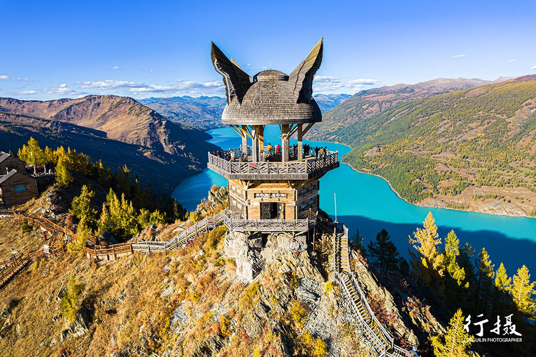
Morning on the Guanyu (Fish-Viewing) Pavilion cable car and the climb above it, which puts the whole lake and its ring of snow peaks in one frame. The best light up here is late morning, once the valley haze has burned off but before the sun goes flat — a narrow window, and the reason we do it today rather than after Hemu.

Then on to Hemu, the most photographed Tuva settlement in northern Xinjiang and still, somehow, worth every frame. Cabins of rough larch, smoke, a river of meltwater, and birch forest closing in from all sides. We shoot the village in late afternoon and stay through dusk, when the windows light up and the smoke layer settles into the valley.

Today’s shooting schedule
  • 10:00–12:00  —  Fish-Viewing Pavilion cable car & lake panorama (ISO 100, f/8–11, 24–70mm)
  • 14:00–16:00  —  Tuva cultural portraits in Kanas
  • 17:30–20:00  —  Transfer to Hemu; village golden hour, smoke and blue hour (ISO 400–1600, f/2.8–4)
Kanas Lake seen from the Fish-Viewing Pavilion, turquoise water ringed by snow peaks
Kanas Lake — Fish-Viewing Pavilion
Morning mist rising through the birch forest and wooden cabins of Hemu village
Hemu — morning mist in the forest

✦ Overnight: Bielijia Hotel, Hemu

Day
9
Hemu → Koktokai

The signature frame of the whole trip

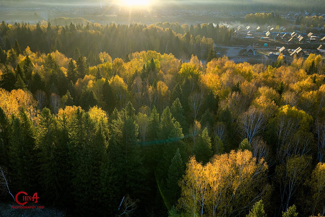
This is the morning the trip is built around. We are on the Hemu viewing platform well before sunrise, in the cold, waiting for the temperature inversion that makes woodsmoke rise from every chimney and hold in a flat layer above the cabins. It happens maybe six mornings out of ten in late September — and when it does not, the forest itself is enough.

After breakfast we work the birch details — bark, leaves against the light, the river — and then start the long transfer east across the Altai to Koktokai. It is a driving day by necessity; we break it with stops and arrive in time to walk the valley in the last light.

Today’s shooting schedule
  • 06:40–08:20  —  Hemu platform: birch smoke at sunrise (ISO 200–400, f/5.6–8, 24–70 & 70–200mm)
  • 08:30–10:00  —  Birch forest details and riverbank
  • 11:00–19:00  —  Transfer east to Koktokai with photo stops (8 h)
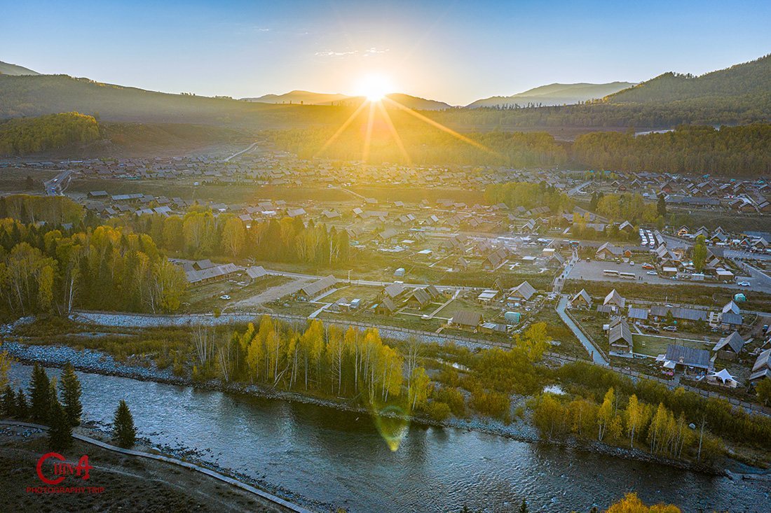
Sunrise over Hemu village seen from the viewing platform, cabins and golden forest below
Hemu — sunrise from the viewing platform

✦ Overnight: Ji Hotel, Koktokai

Day
10
Koktokai National Park

Granite domes and the Irtysh gorge

Koktokai is the surprise of the trip for most photographers: a valley of enormous bare granite domes — Shenzhong Mountain, the “Bell Mountain” — rising straight out of larch forest, with the Irtysh running cold and clear between them. Nothing here is subtle; the rock is the subject.

We spend the whole day in the park. Morning for the domes with the sun on the east faces, midday for the river boulders and the reflection pools under the forest, late afternoon for the gorge walls, and sunset on the open valley where the granite goes pink for about ten minutes. If the sky is clear after dinner, this is the darkest sky of the trip — bring the fast lens.

Today’s shooting schedule
  • 08:00–10:30  —  Shenzhong Mountain and the granite domes (ISO 100–200, f/8–11, 24–70mm)
  • 11:00–15:00  —  River boulders, autumn reflections, forest detail
  • 17:30–19:50  —  Irtysh Grand Canyon walls at sunset (70–200mm compression)
  • 21:30+  —  Optional Milky Way over the valley (ISO 3200, f/2.8, 20s)
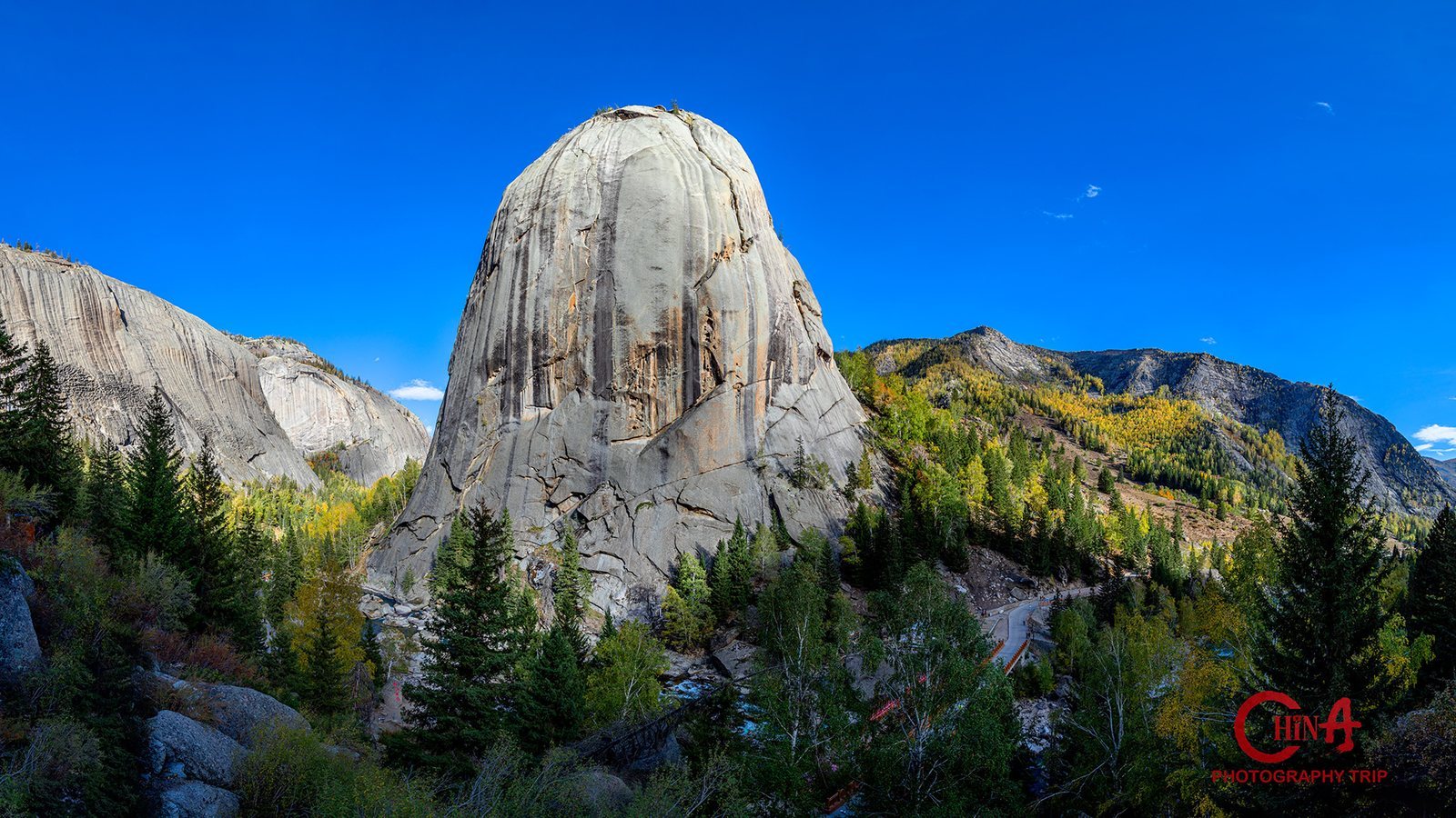
Shenzhong Mountain, the great granite dome of Koktokai, above autumn larch forest
Koktokai — Shenzhong Mountain
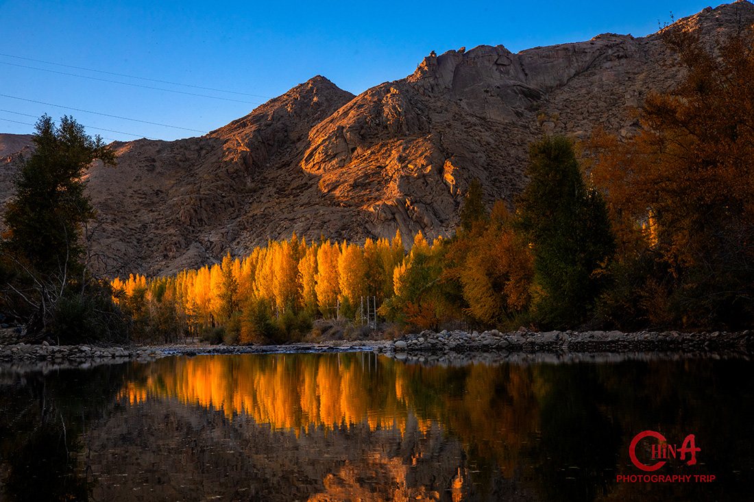
Still water mirroring golden autumn forest and granite boulders in Koktokai
Koktokai — autumn forest reflection

✦ Overnight: Ji Hotel, Koktokai

Day
11
Koktokai → Urumqi

Valley dawn, desert road, bazaar night

One last dawn in the Koktokai valley — the light comes up the granite faces in bands, and it is worth the 06:30 alarm — before we turn south for the long run back across the Gurbantünggüt Desert to Urumqi. It is a nine-hour drive with saxaul scrub and oilfields for company; we stop where it looks interesting rather than where the schedule says.

Evening at the Xinjiang International Grand Bazaar: Islamic-style arcades, a minaret that lights up at dusk, copper and spice stalls, and a crowd that is entirely used to being photographed. High ISO, fast primes, no flash — this is the one session of the trip where being discreet matters more than being sharp.

Today’s shooting schedule
  • 06:40–07:50  —  Koktokai valley dawn on the granite faces (ISO 100–200, f/8, tripod)
  • 09:00–18:00  —  Transfer south across the Gurbantünggüt Desert (9 h with stops)
  • 19:30–21:30  —  International Grand Bazaar at night (ISO 1600–6400, f/1.8–2.8, 35/50mm)
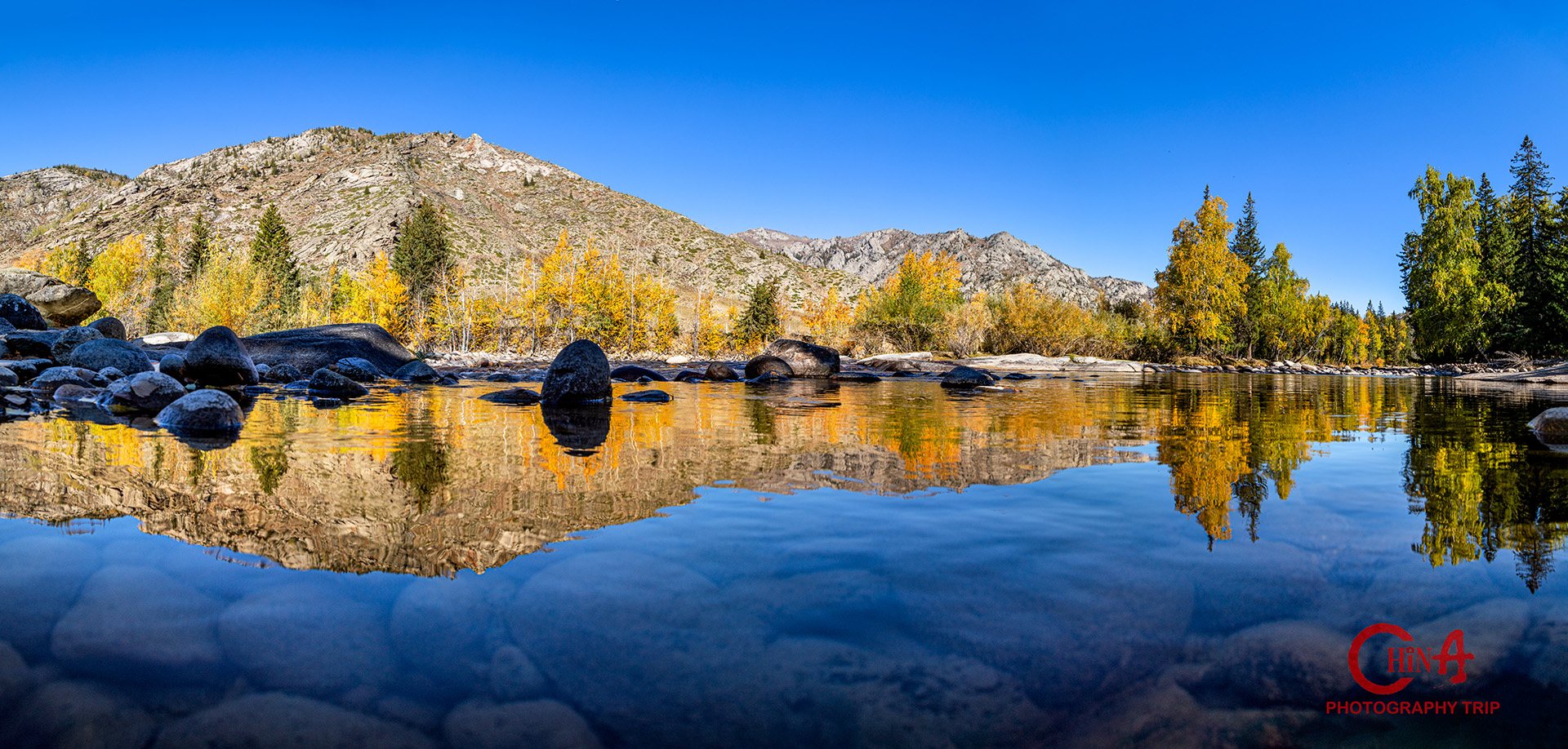
Wide autumn reflection of larch forest and rock in a still Koktokai lake at low sun
Koktokai — lake reflection in autumn

✦ Overnight: Grand Mercure Hotel, Urumqi

Day
12
Urumqi → Departure

Breakfast, backup, goodbye

Breakfast at the hotel and, depending on your flight, a short edit session: we back everything up twice, cull together, and put a first grade on the ten or twelve frames you will actually show anyone. Most people go home with far more than that.

Then the transfer to Urumqi Diwopu International Airport for your flight home or onward. If you are continuing to another region, we can connect you directly to the Guilin, Zhangjiajie or Yunnan departures.

Today’s plan
  • 08:00–10:00  —  Breakfast, group photos
  • 10:00–11:30  —  Edit & review session: back-up, cull, first grade
  • Per flight  —  Transfer to Urumqi Diwopu International Airport (URC) · Tour ends

✦ Departure — safe travels, and send us the frames

Camera Settings Guide

Settings we use on this route

Starting points for each light condition — your guide adjusts them on location and explains every change.

🌎
Danxia & yardang raking light
ISO 100 · f/8–11 · 1/60–1/250s

Shoot across the sun, not into it, so every ridge throws a shadow. A polariser deepens the strata but darkens the sky unevenly at 16mm — check the corners.

☀
Birch smoke dawn
ISO 200–400 · f/5.6–8 · 1/30–1/125s

The smoke layer needs patience, not speed. Shoot wide for the village in smoke, then 70–200mm to compress the cabins into the forest behind them.

🍂
Autumn larch colour
ISO 100–200 · f/8–11 · 1/60–1/250s

Slightly overcast light saturates the larch better than direct sun. Meter for the highlights or the gold clips to flat yellow.

✨
Bazaar & Milky Way
ISO 1600–6400 · f/1.8–2.8 · 1/60–20s

Two extremes, same evening. In the bazaar shoot wide open and let the noise come; later, under Koktokai’s dark sky, ISO 3200, f/2.8 and 20s on a tripod.

Twelve days is the shortest version of this country

Groups are capped at four photographers so every tripod gets the platform. Autumn departures fill first — the larch only holds its colour for about three weeks.

Plan My Xinjiang Autumn Tour → Xinjiang Location Guide
More Journeys

Across China

All Photo Tours →
9 Days

Xinjiang Lakes & Deserts

The shorter northern route: Kanas, Hemu and the Turpan basin in one week.

View Tour →
6 Days

Guilin & Yangshuo

Xianggong sunrise and cormorant fishermen at blue hour.

View Tour →
5 Days

Zhangjiajie Avatar Mountains

Pillar forests at sunrise and cloud seas at sunset.

View Tour →